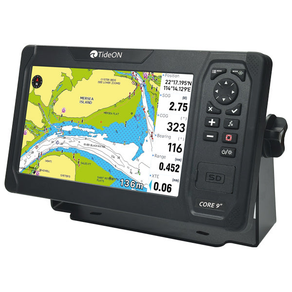
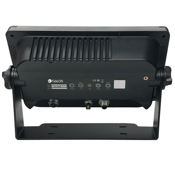
TideON CORE 9" chartplotter with GNSS and NMEA0183/2000
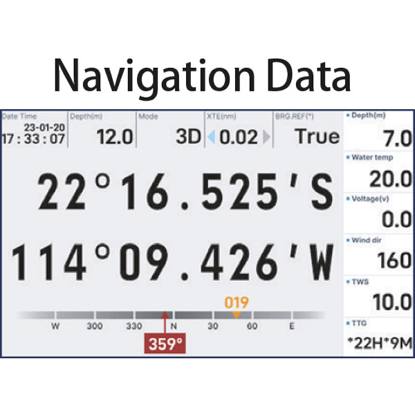
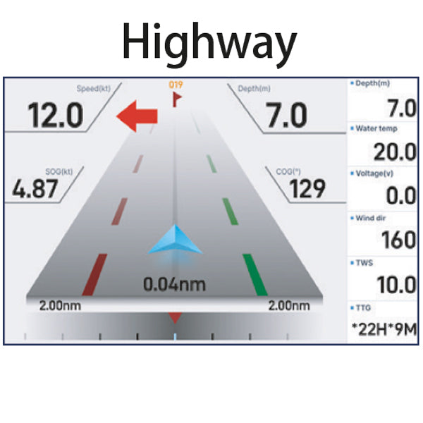
The CORE 9" is a compact and robust chartplotter for small and medium-sized boats. The clear 9-inch display with high brightness allows you to read charts and data in full sunlight, and the integrated antenna provides fast GNSS positioning. The menus are intuitive and easy to use.
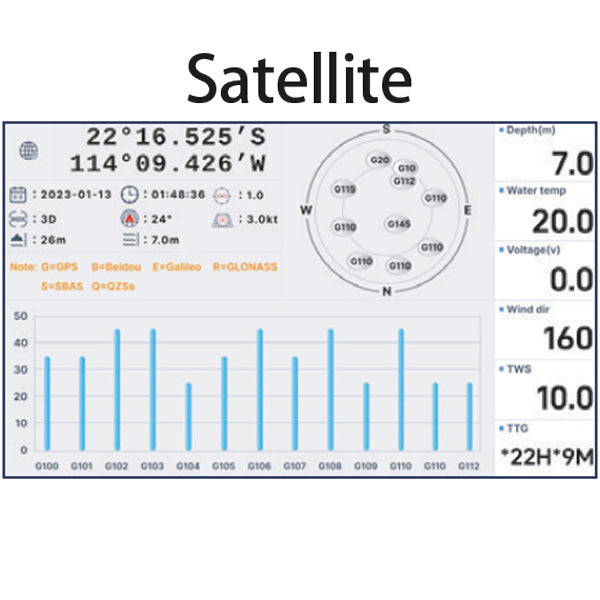
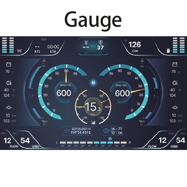
The chartplotter supports GPS, Beidou and Glonass and provides stable position even in areas with weak satellite coverage. With NMEA0183 and NMEA2000, the installation becomes flexible, allowing you to share course, depth, AIS and GPS data over the boat's network. It is suitable as a primary navigation on smaller boats or as a secondary display on larger boats, standalone or integrated into an existing NMEA network.
Features:
9-inch display with 1000 nits brightness, readable in full sunlight
GNSS with GPS, Beidou and Glonass via internal antenna
NMEA0183 and NMEA2000 for sharing course, depth, AIS and GPS data
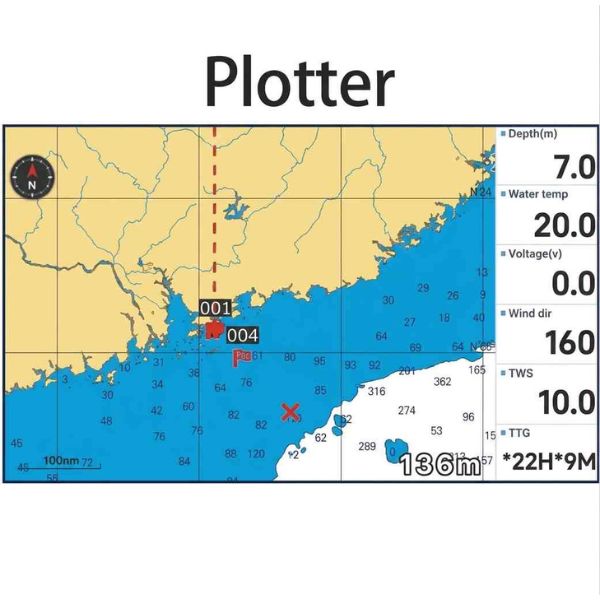
Global basemap with built-in K-Chart 3.0
Support for C-Map Max and Navionics+ via external SD card
IPX6 rated and built for rain, salt and vibration
What K-Chart can do:
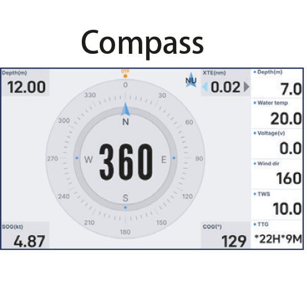
Basic navigation: position, course and route display, waypoints, tracks and routes
Depth display: color-coded depths for easy visual reading (light blue = deeper water, dark blue = shallower water)
Overview: depth contours, coastlines and land as well as basic geographical data
In short: everything you need to navigate safely from A to B under normal conditions.
Specifications:
Screen size: 9"
Screen resolution: 1024 x 600 pixels
LCD brightness: 1000 nits
GNSS: GPS, Beidou, Glonass
GPS antenna: internal
NMEA interface: NMEA0183 / NMEA2000
Basemap: Worldwide, K-Chart 3.0
External map: Compatible with C-Map Max and Navionics+
Waterproof: IPX6
⚠️ Basemap is intended for normal conditions. Use detailed charts, C-Map Max or Navionics+, in narrow or shallow waters.